
Site map and plant model
Model your site's locations, plant areas and equipment once, then use that structure everywhere data is captured and reported.
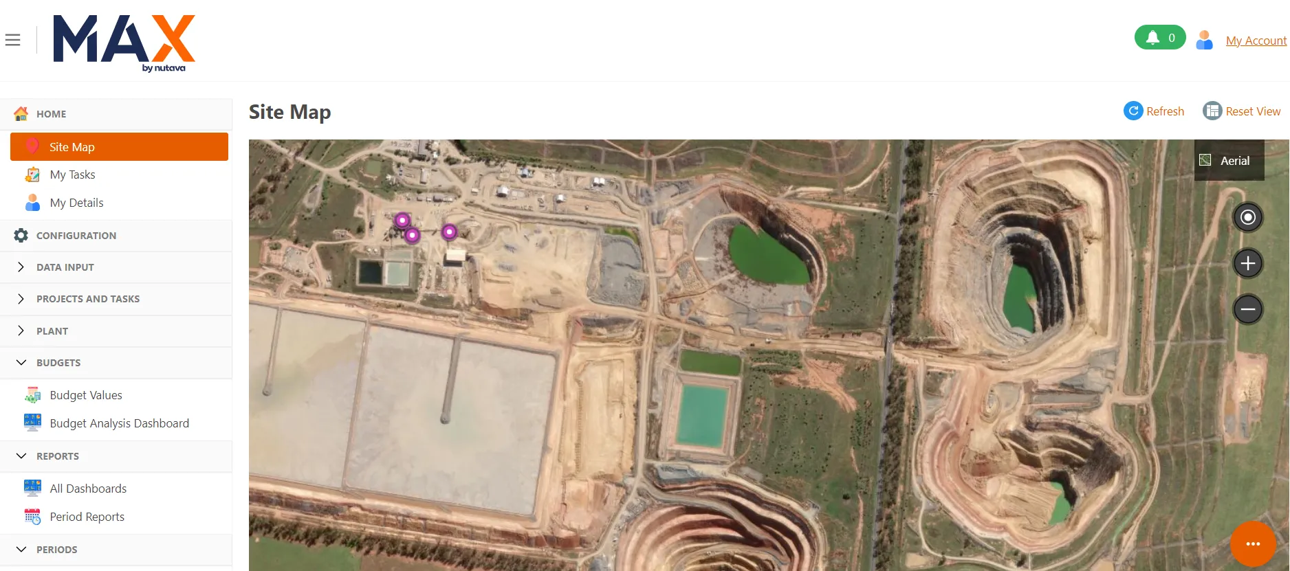
MAX holds a structured model of your operation: sites, locations, plant areas, equipment and measure points, visualised on aerial imagery. That model drives the navigation, the import mappings and the reporting hierarchy, so a new circuit or stockpile is added in one place.
- Sites and locations plotted on satellite imagery
- Equipment and plant hierarchy for downtime and consumables
- Measure points and data categories configured per area
- Supports multiple sites and commodities in one system
More MAX4METS features
- One auditable source of truth
- Capture data from every source
- Transparent formula management
- Metal balance and reconciliation
- Downtime and delay accounting
- Shift, daily, weekly and monthly reporting
- Shipments, bullion and product tracking
- Roles, permissions and security
- Tasks, workflows and approvals
Ready to elevate your metallurgical accounting?
Book a demonstration and see how MAX fits your plant, your data sources and your reporting cycle.